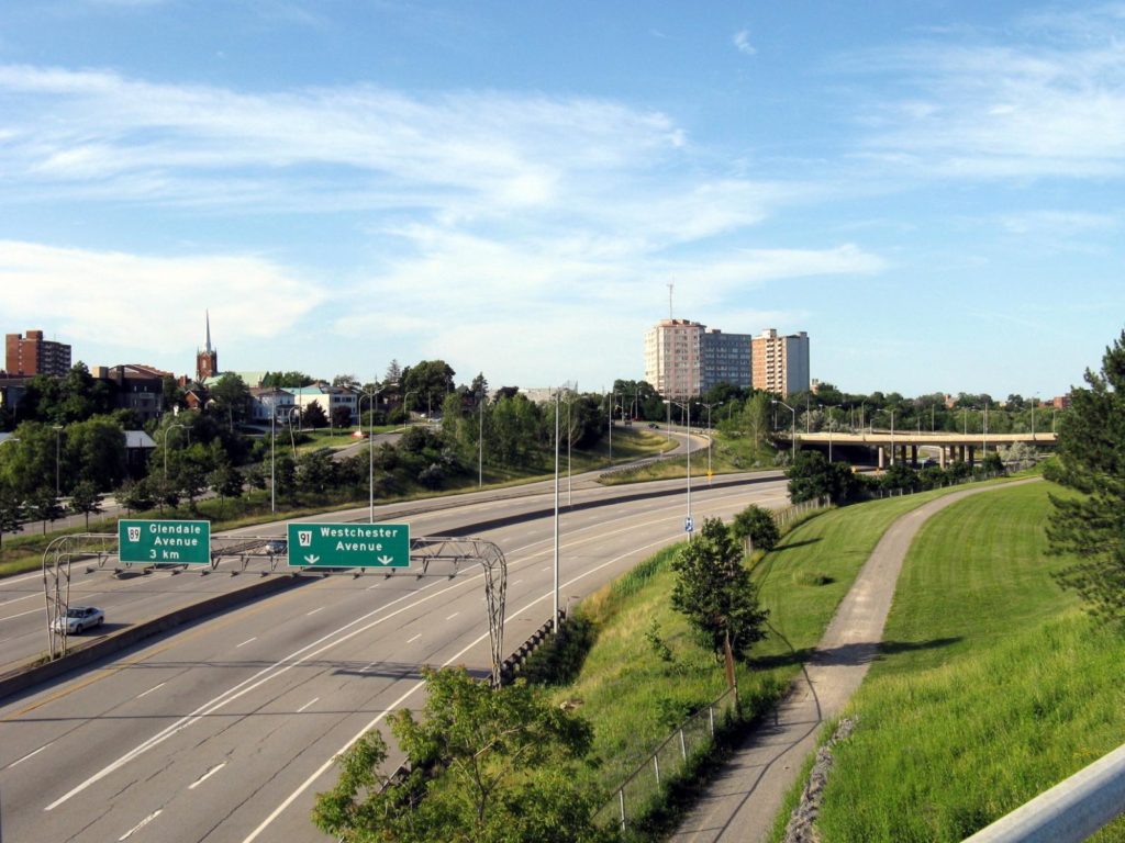
The study will guide future decisions for land use in that area of the city. The corridor includes the long-standing industrial properties at 282 and 285 Ontario Street (often recognized as the former GM lands) which will be a central focus of the study and for future redevelopment opportunities.
As public engagement and feedback will be a significant component of the Ontario Street Corridor Secondary Plan Study, there will be several opportunities for residents, landowners and business owners to provide input.
“The historical use of the lands in the study area has helped to shape the economic, social, cultural and environmental fabric of the city, and the future use of the lands will also do so for generations to come. Local neighbourhood and community-wide perspectives; public engagement; and stakeholder input into the study are critical to the creation of a meaningful and city-owned future land use plan for the area,” said Senior Project Manager Bruce Bellows.
The study terms of reference, including the defined study area, goals and objectives, study management, study components, public engagement strategy, and timeline can be found at engageSTC.ca/OntarioStreetStudy. It is estimated that the study will take approximately two and a half years to complete.

